Home / Services / Construction surveying

Construction geodetic support

Setting-out, as-built surveys and deformation monitoring for construction sites and industrial facilities. We work throughout Kazakhstan.

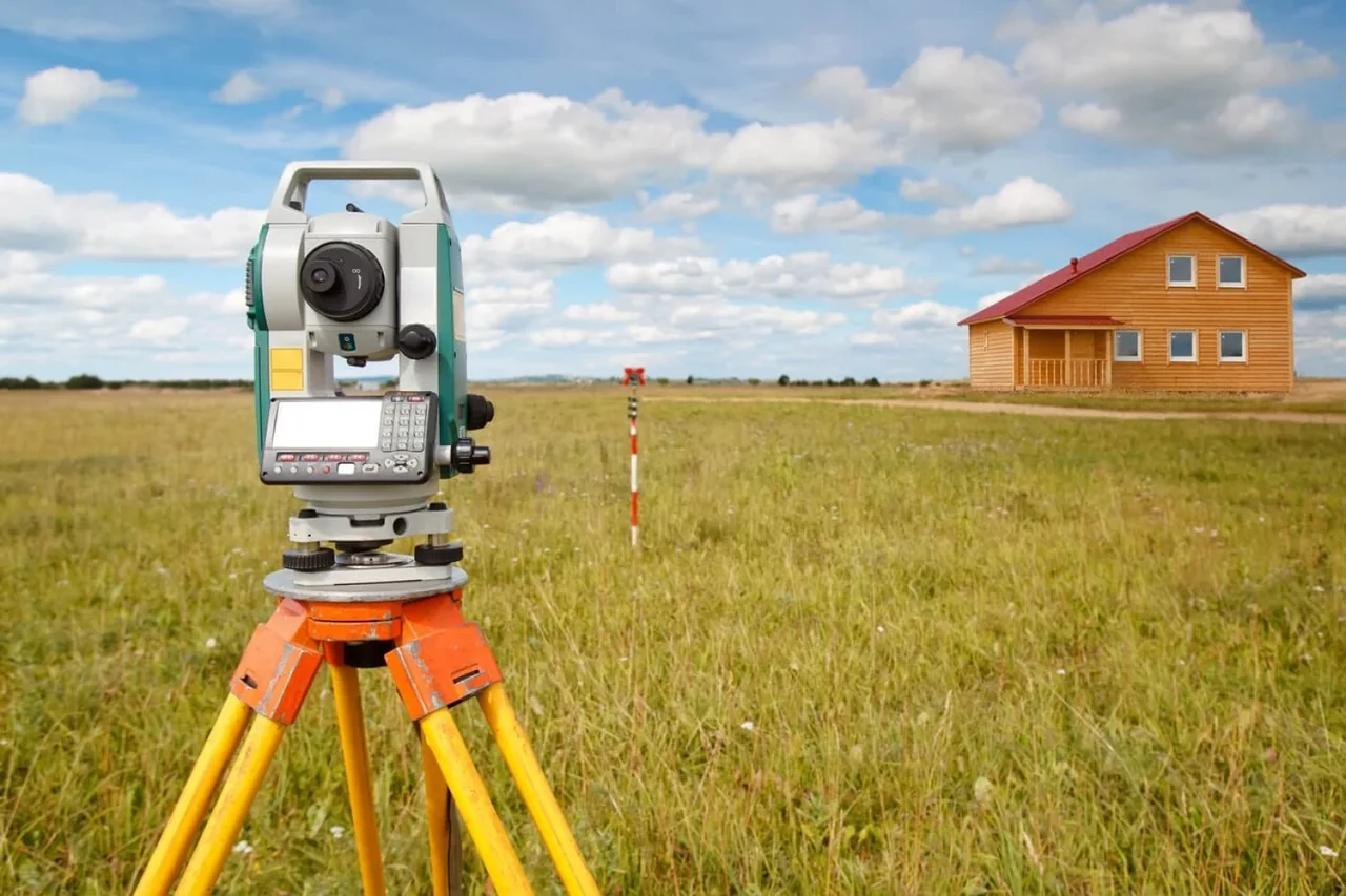
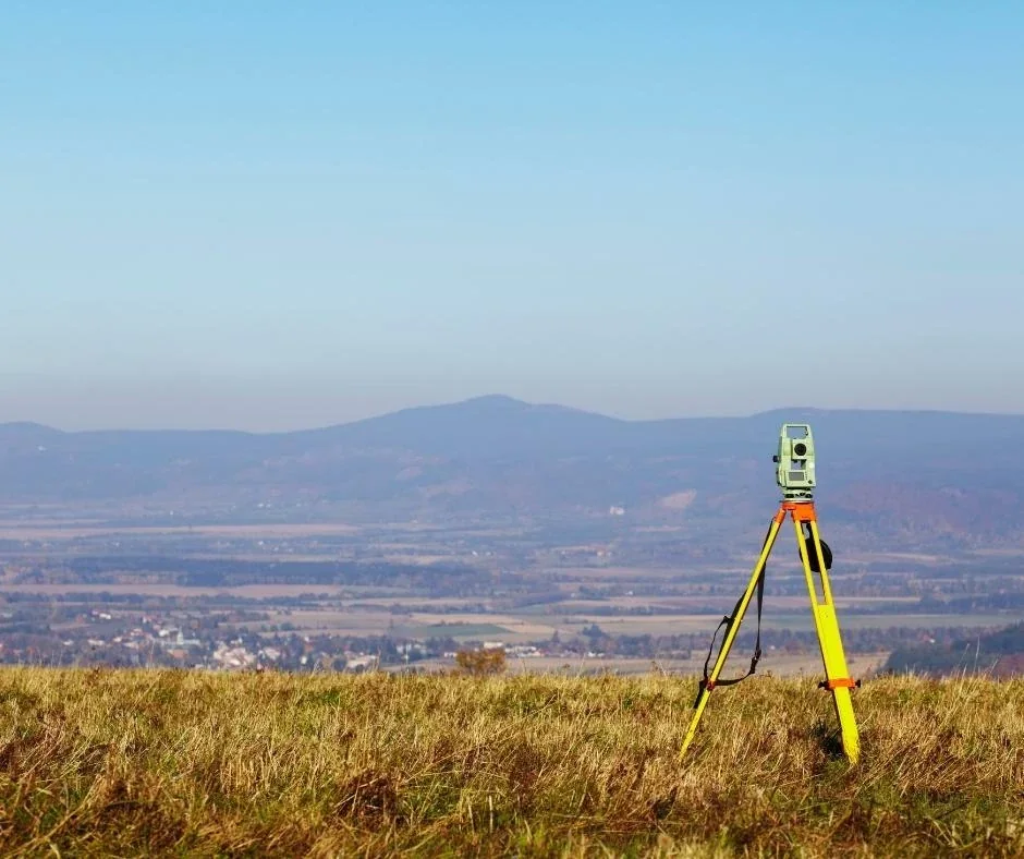
Measurements during site preparation and construction, from setting out axes to as-built surveys. The brief defines the structures, utilities and inspection stages covered.

What you receive

  • Setting-out control and transfer of design axes and elevations
  • As-built drawings and results of control measurements
  • Deformation-monitoring records where included in the programme

What we need for a quotation

  • Site plan, working drawings and survey control
  • List of structures and utilities, construction stages and schedule
  • As-built documentation and inspection requirements

Experience and supporting documents

The company archive records geodetic setting out and construction support for a cement plant in Akmola Region in 2011.

TOP GEO projects

Cost and schedule

The scope, accuracy, deliverable formats and schedule are agreed in the technical brief. Pricing depends on the area, workload and site access.

Request a project quotation

TOP GeoMineGroup — digital models

Spatial data for cities, industrial sites and mining operations: from survey and ground control to 3D models, measurements and date comparisons. This direction complements TOP GEO’s geodesy, topography and aerial surveying.
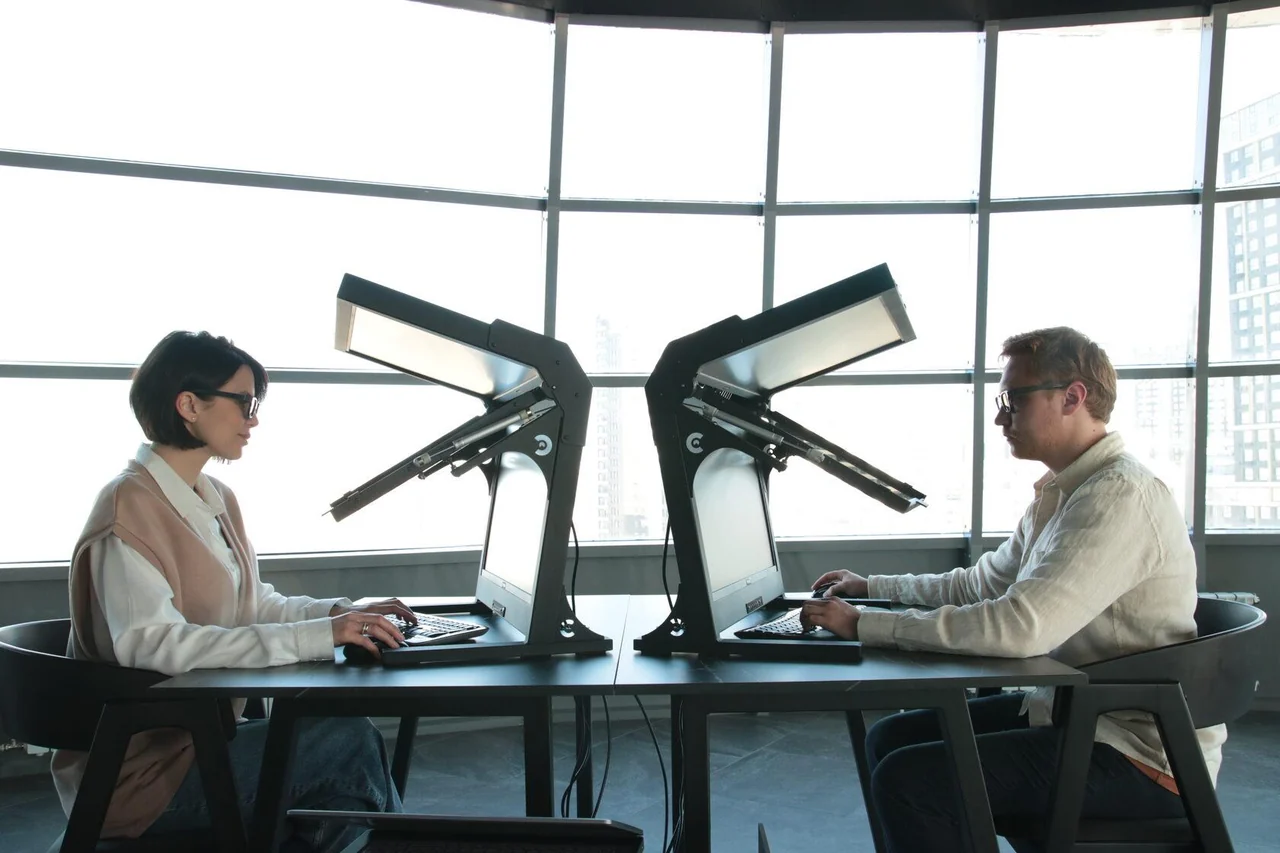
Stereo workstation shown in the TOP GeoMineGroup presentation
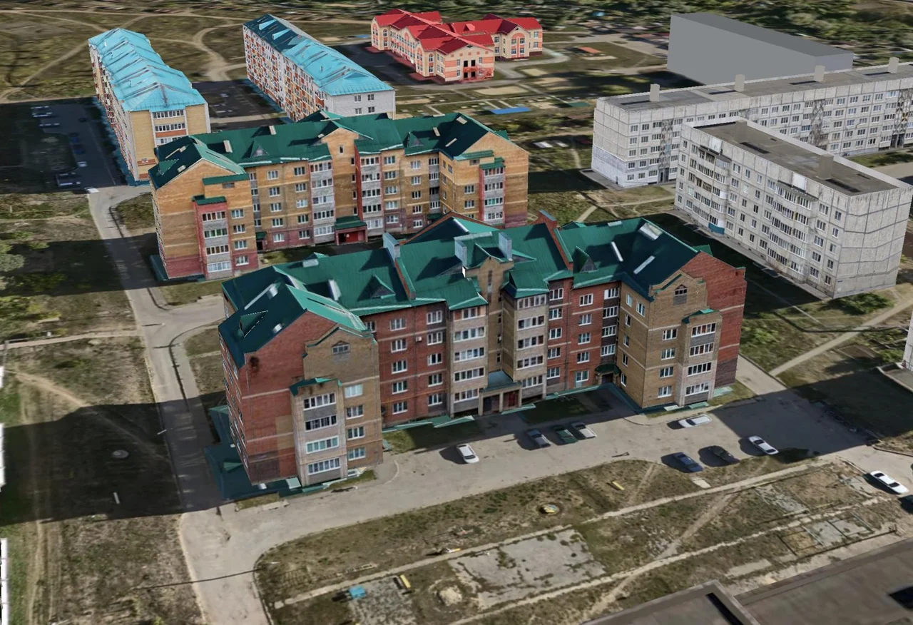
City 3D model — technology demonstration

Images from the TOP GeoMineGroup presentation illustrate the technology and workstation; they do not depict a completed TOP GEO project

View details

Work scope and capabilities

Work at the preparatory stage:
Systematisation of previous geodetic monitoring data
Reconnaissance of the study area
Development or upgrading of geodetic control networks
Topographic surveying of the site
Regular updating of topographic plans
Geodetic monitoring of foundation deformation
Preparation of topographic, cadastral and thematic maps
Data processing and preparation of a technical report

Work during construction:
Establishment of the construction surveying control framework
Setting-out and engineering geodetic works
Surveying checks of dimensional accuracy
As-built geodetic surveying
Deformation monitoring
Preparation of as-built reports

At work sites

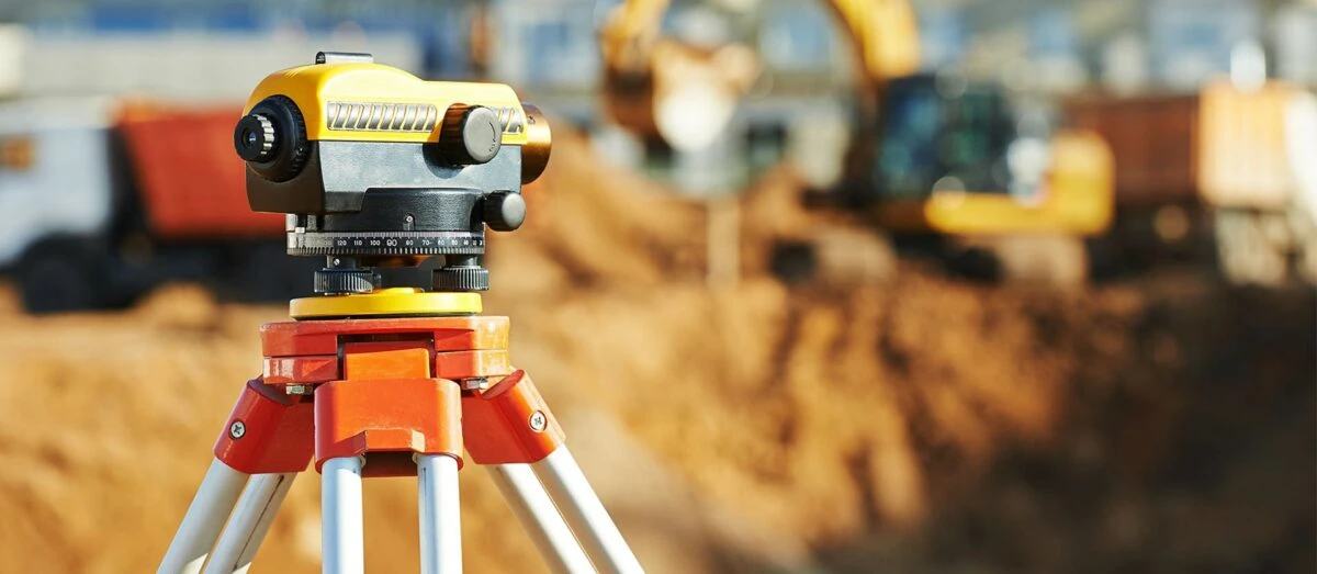
Levelling

Tell us about your project

We will recommend a solution and prepare a proposal for your project