We obtain the initial data required for design and construction. We combine engineering geodetic, engineering geological, hydrometeorological and environmental studies in a coordinated work programme.
Working across Kazakhstan
Field and laboratory studies
Preparation of reporting documentation
Scope of work
Engineering geodesy
Topographic surveying, utility surveys, control networks and setting-out works.
Engineering geology
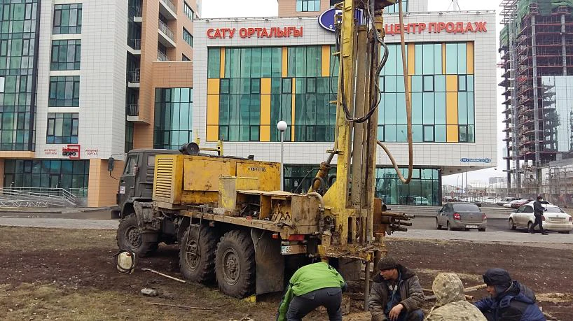
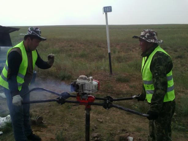
Drilling, soil and groundwater studies, field and laboratory testing.
Hydrometeorology
Study of water bodies and natural conditions to inform design decisions.
Environmental surveys
Study of environmental conditions and assessment of natural factors.
Equipment and field work
TOP GEO field work
TOP GEO field work
How we work
A clear process at every stage
01
Discuss the task
We review the initial data and technical specification.
02
Prepare a proposal
We agree on the scope of work, timeframe and cost.
03
Carry out the work
We perform studies and engineering works.
04
Deliver the results
We provide reports and documentation.
Costs and timeframes are calculated against the technical specification
Tell us about the site and expected scope. We will clarify the initial data, prepare an estimate and agree on the documents required for the next steps.