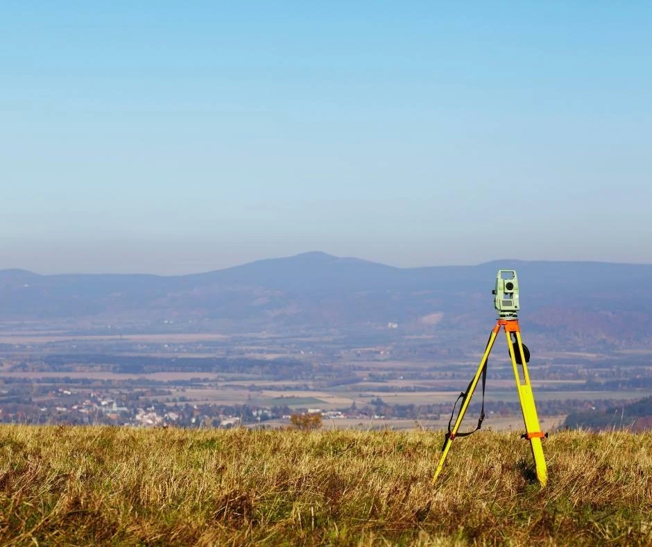
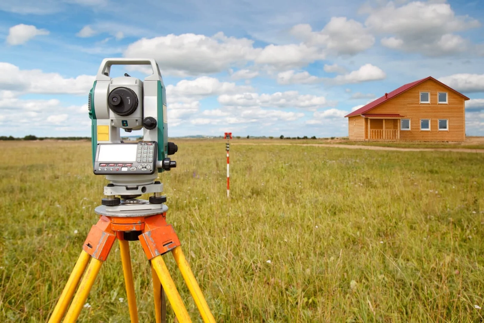
Straightforward creation of high-resolution orthophotos Highly accurate and detailed data High surveying productivity Simultaneous data capture in multiple spectral bands Significant cost savings through digital processing No photochemical processing or deformation of photographic material
Applications: Preparation of topographic site plans Generation of digital and electronic maps Geological exploration Monitoring buildings and structures Terrestrial laser scanning Surveying extensive areas