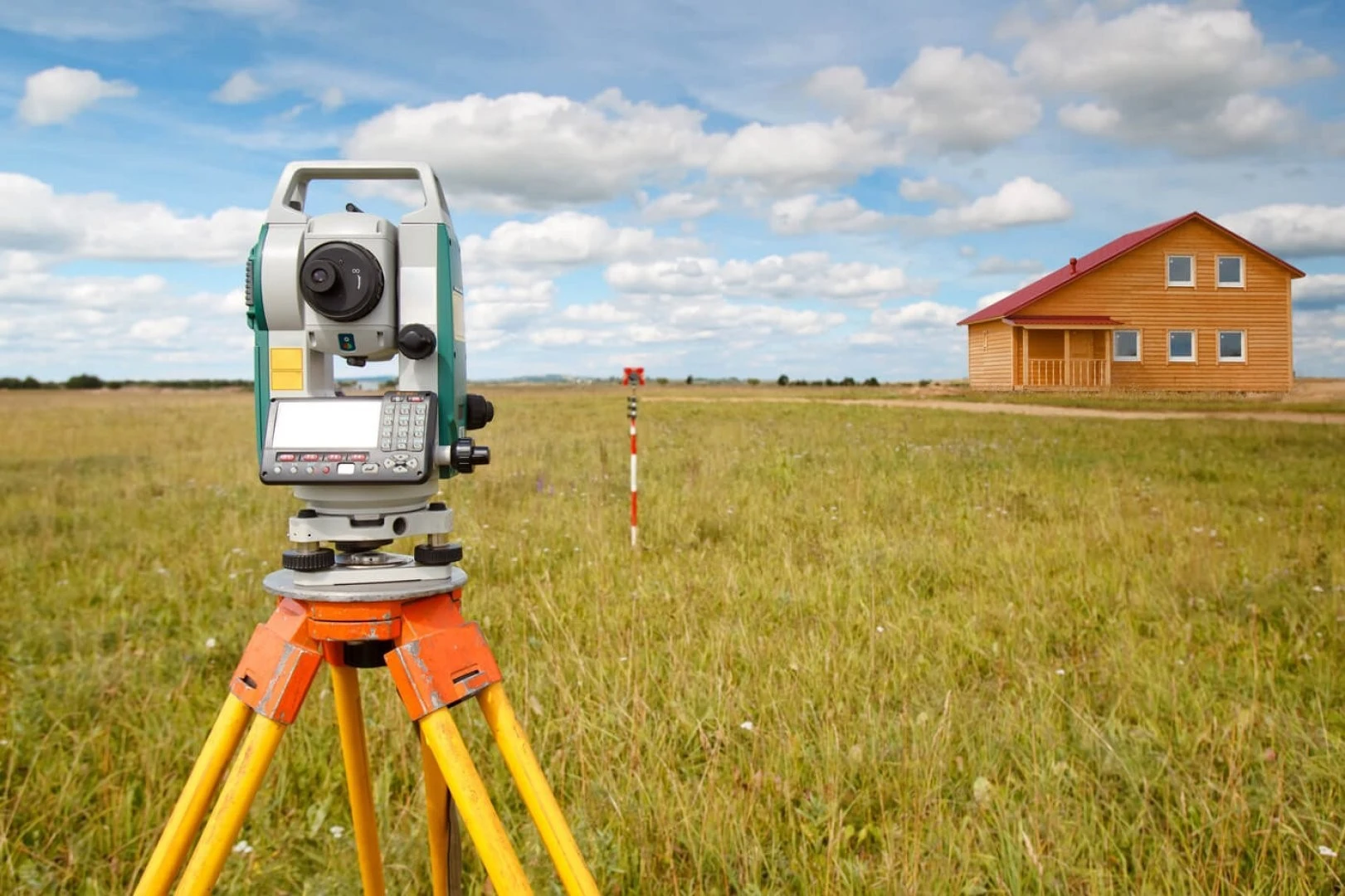
Types of topographic and geodetic work: Topographic surveying at scales of 1:500, 1:1000, 1:2000, 1:5000 and 1:10000 Establishment and extension of geodetic control networks As-built surveying of underground and above-ground utilities Setting-out works and transfer of design axes to the site Surveying support for construction Checking the geometric parameters of buildings and structures Monitoring deformation and settlement Coordinate determination and adjustment of geodetic networks Creation of digital terrain models Major topographic surveying projects: Topographic surveying of territories incorporated into Almaty (2014): over KZT 184 million Rudny master plan, scale 1:2000 (2013): KZT 20 million Masanchi village master plan, Korday District (2013): KZT 6.5 million Topographic surveying for settlement master plans in Almaty Region (2015): KZT 54.7 million