Home / Services / Topographic and geodetic surveys

Topographic surveys and geodesy

Topographic surveys at 1:500–1:10000, survey control networks and digital terrain models for design and construction. We work throughout Kazakhstan.

A topographic base for site planning, buildings, roads and utility design. Ground surveys, utility investigation and digital terrain modelling are specified separately in the brief.

What you receive

  • A topographic plan at the agreed scale from 1:500 to 1:10000
  • Terrain elevations, site features and utilities included in the brief
  • Digital files and a technical report in formats agreed with the designer

What we need for a quotation

  • Site boundary, area and location
  • Required scale, coordinate and height systems, output formats
  • Survey purpose, existing plans and utility information

Experience and supporting documents

The company archive includes topographic work in Almaty, Almaty Region and Rudny. TOP GeoMineGroup provides a further spatial-analysis direction using Aymak 3D.

TOP GEO projects

Cost and schedule

The scope, accuracy, deliverable formats and schedule are agreed in the technical brief. Pricing depends on the area, workload and site access.

Request a project quotation

TOP GeoMineGroup — digital models

Spatial data for cities, industrial sites and mining operations: from survey and ground control to 3D models, measurements and date comparisons. This direction complements TOP GEO’s geodesy, topography and aerial surveying.

Stereo workstation shown in the TOP GeoMineGroup presentation
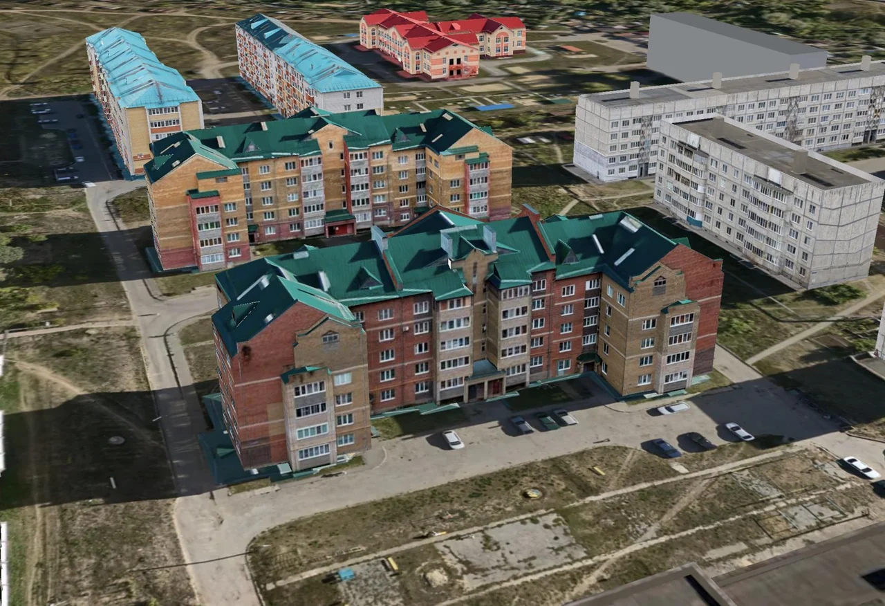
City 3D model — technology demonstration

Images from the TOP GeoMineGroup presentation illustrate the technology and workstation; they do not depict a completed TOP GEO project

View details

Work scope and capabilities

Types of topographic and geodetic work:
Topographic surveying at scales of 1:500, 1:1000, 1:2000, 1:5000 and 1:10000
Establishment and extension of geodetic control networks
As-built surveying of underground and above-ground utilities
Setting-out works and transfer of design axes to the site
Surveying support for construction
Checking the geometric parameters of buildings and structures
Monitoring deformation and settlement
Coordinate determination and adjustment of geodetic networks
Creation of digital terrain models
Major topographic surveying projects:
Topographic surveying of territories incorporated into Almaty (2014): over KZT 184 million
Rudny master plan, scale 1:2000 (2013): KZT 20 million
Masanchi village master plan, Korday District (2013): KZT 6.5 million
Topographic surveying for settlement master plans in Almaty Region (2015): KZT 54.7 million

At work sites

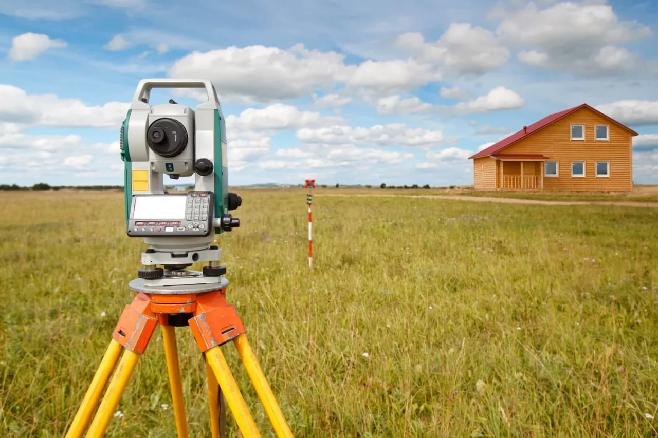
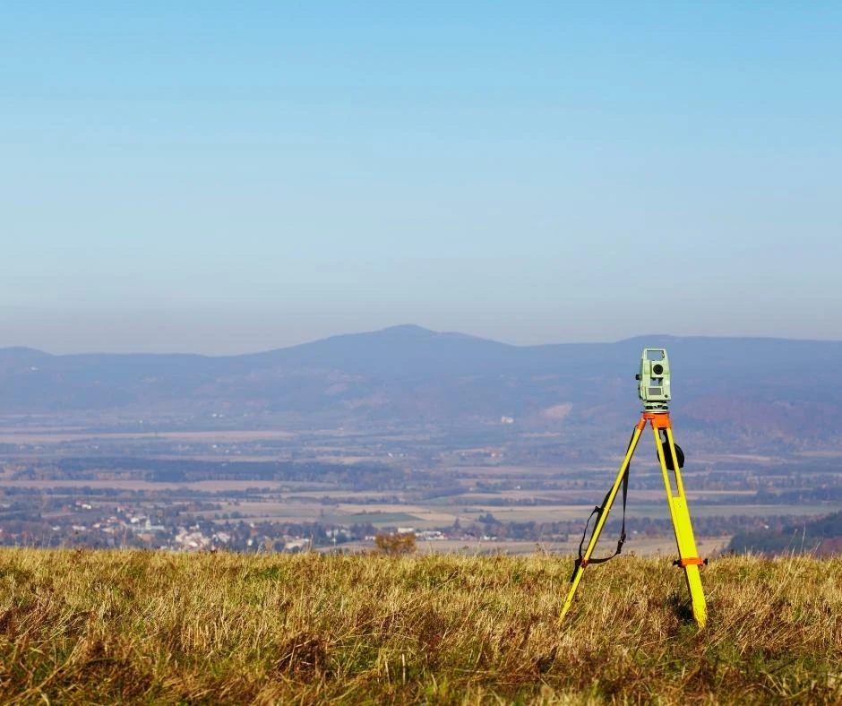
Surveying equipment in the field

Questions about your project

Photographs from the company archive
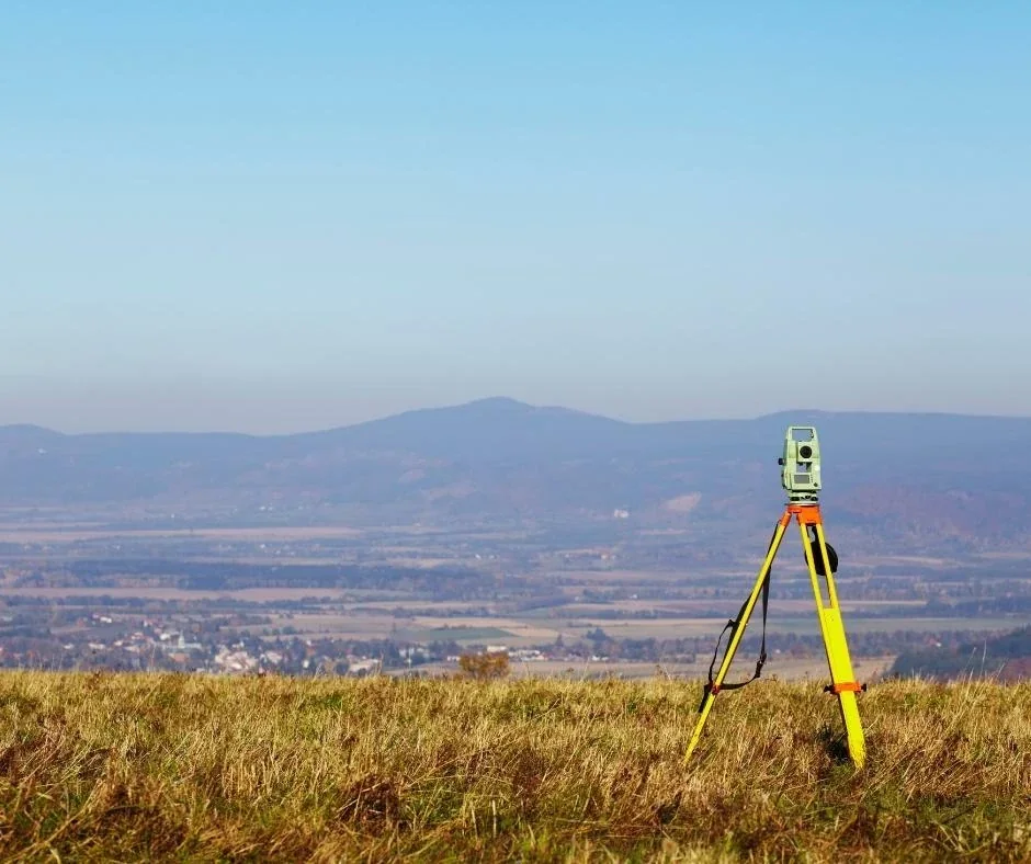
Survey measurements in the field

Which topographic survey scales are listed?

TOP GEO’s published scope lists 1:500, 1:1000, 1:2000, 1:5000 and 1:10000. Survey boundaries and scale are agreed according to the intended use and technical brief.
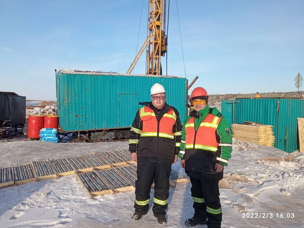
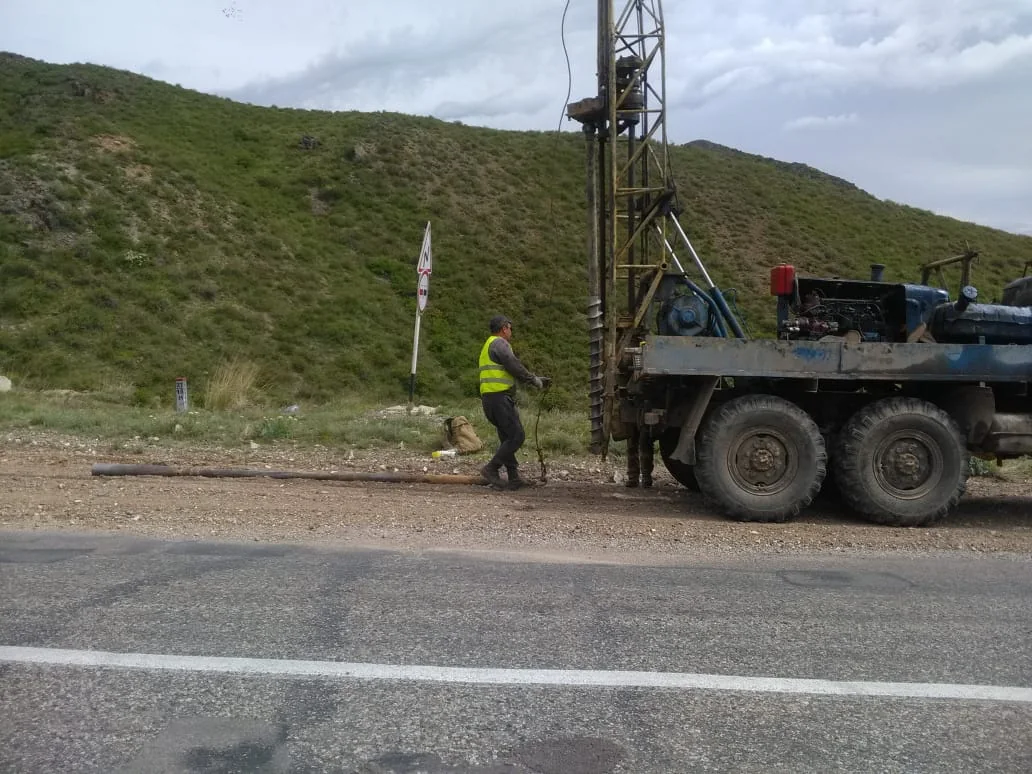
Specialists at a drilling site

What does the service cover beyond topographic surveying?

The scope includes geodetic networks, utility surveys, setting out, as-built surveys, deformation observations and digital terrain models. The website has a separate engineering geodesy service for construction support.

Where can I find topographic project examples?

This page and the archive describe historical projects, including the Rudny master plan survey at 1:2000 in 2013 and settlement master plan surveys in Almaty Region in 2015. Scope and deliverable formats for a new site are agreed separately.

Tell us about your project

We will recommend a solution and prepare a proposal for your project