UAV aerial surveys and 3D terrain models

UAV aerial surveying services for topographic plans, digital maps, mineral exploration and building and structure monitoring. We work throughout Kazakhstan.
Aerial imagery and ground control for orthophotos, digital surfaces and change comparison. Survey technology and accuracy checks are selected for the task, area and site conditions.
What you receive
- An orthophoto and georeferenced survey data
- A point cloud, digital terrain or surface model as specified
- Profiles, sections and date-to-date comparisons within agreed boundaries
What we need for a quotation
- Site boundaries and area, intended use of the model
- Required accuracy, file formats and update frequency
- Available ground control, access and survey restrictions
Experience and supporting documents
TOP GeoMineGroup materials extend the service to city and mining digital twins. Volume calculations require comparable surfaces and an agreed methodology.
Cost and schedule
The scope, accuracy, deliverable formats and schedule are agreed in the technical brief. Pricing depends on the area, workload and site access.
Request a project quotationTOP GeoMineGroup — digital models
Spatial data for cities, industrial sites and mining operations: from survey and ground control to 3D models, measurements and date comparisons. This direction complements TOP GEO’s geodesy, topography and aerial surveying.

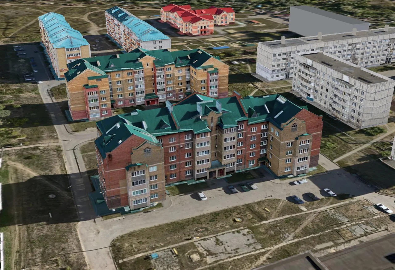
Images from the TOP GeoMineGroup presentation illustrate the technology and workstation; they do not depict a completed TOP GEO project
View details


Work scope and capabilities
Straightforward creation of high-resolution orthophotos
Highly accurate and detailed data
High surveying productivity
Simultaneous data capture in multiple spectral bands
Significant cost savings through digital processing
No photochemical processing or deformation of photographic material
Applications:
Preparation of topographic site plans
Generation of digital and electronic maps
Geological exploration
Monitoring buildings and structures
Terrestrial laser scanning
Surveying extensive areas
Tell us about your project
We will recommend a solution and prepare a proposal for your project