Home / Services / Surveys for roads, bridges and linear infrastructure

Surveys for roads, bridges and linear infrastructure

Topographic and geological information along a route, at crossings and around structures. The scope depends on the design stage, route length, terrain and crossing conditions.

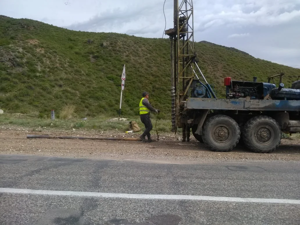
Field investigations beside a road
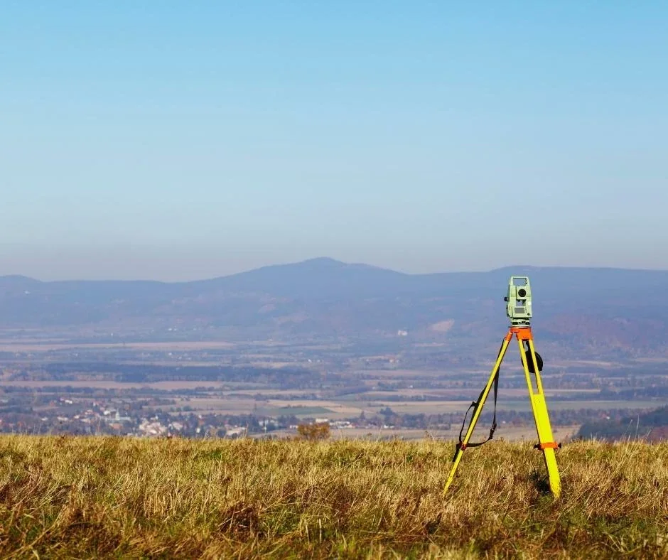
Survey measurements in the field

Route and survey corridor

Survey terrain, cross-sections, existing roads and utilities within the agreed boundary.
Bridges and complex sections

Investigate ground conditions around supports and approaches, coordinating additional studies with the designer’s programme.
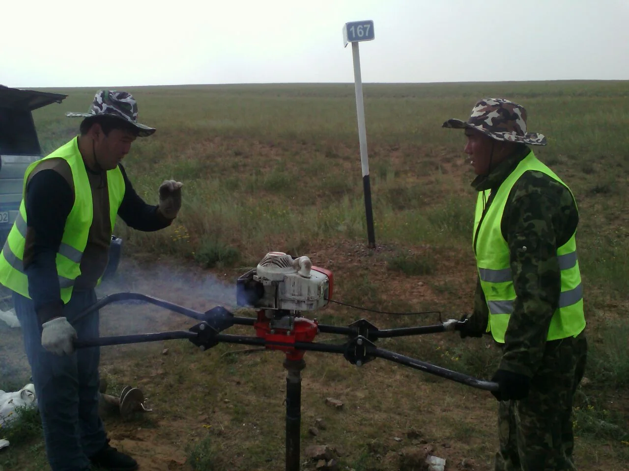
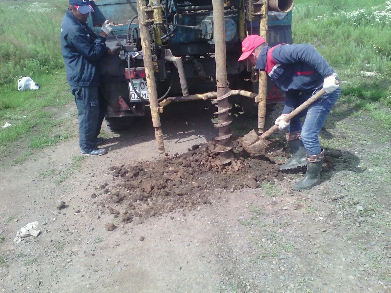
Field investigations with portable equipment
A crew working beside a borehole

Photographs from the TOP GEO archive show the company’s types of work and equipment

What you receive

  • A topographic plan, profiles and a digital route base
  • Engineering geological investigation results for agreed sections
  • Design inputs and construction control measurements under a separate brief

What we need for a quotation

  • Route centreline or alternatives, length and corridor width
  • Locations of bridges, crossings and engineering structures
  • Design stage, technical brief, existing records and access

Experience and supporting documents

Archive projects include engineering geological and geodetic surveys for an 18 km industrial road from a cement plant to a quarry in Moiynkum District, Zhambyl Region, in 2013. The archive also lists engineering geodetic work on the Almaty Ring Road in 2007.

TOP GEO projects

Cost and schedule

The scope, accuracy, deliverable formats and schedule are agreed in the technical brief. Pricing depends on the area, workload and site access.

Request a project quotation

Tell us about your project

We will recommend a solution and prepare a proposal for your project