Cities and infrastructure
Orthophotos, terrain, buildings, utilities and thematic layers for planning, inventories and site management.
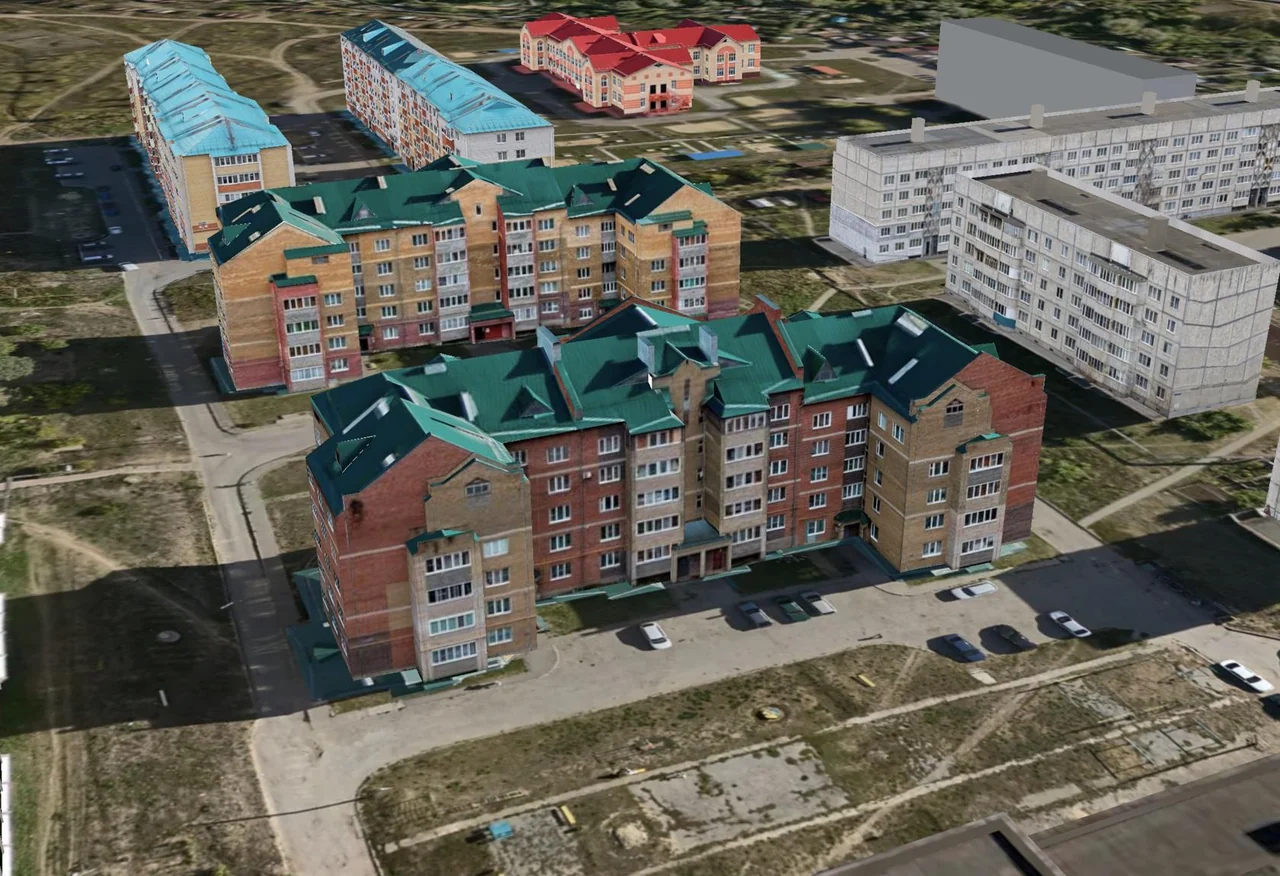
Orthophotos, terrain, buildings, utilities and thematic layers for planning, inventories and site management.
Surface comparison, profiles, sections and cut-and-fill volume calculation within an agreed boundary.
3D viewing and measurement, thematic-layer workflows, training and specialist support.
Repeat surveys in a common coordinate system, ground-control checks and comparisons between dates.
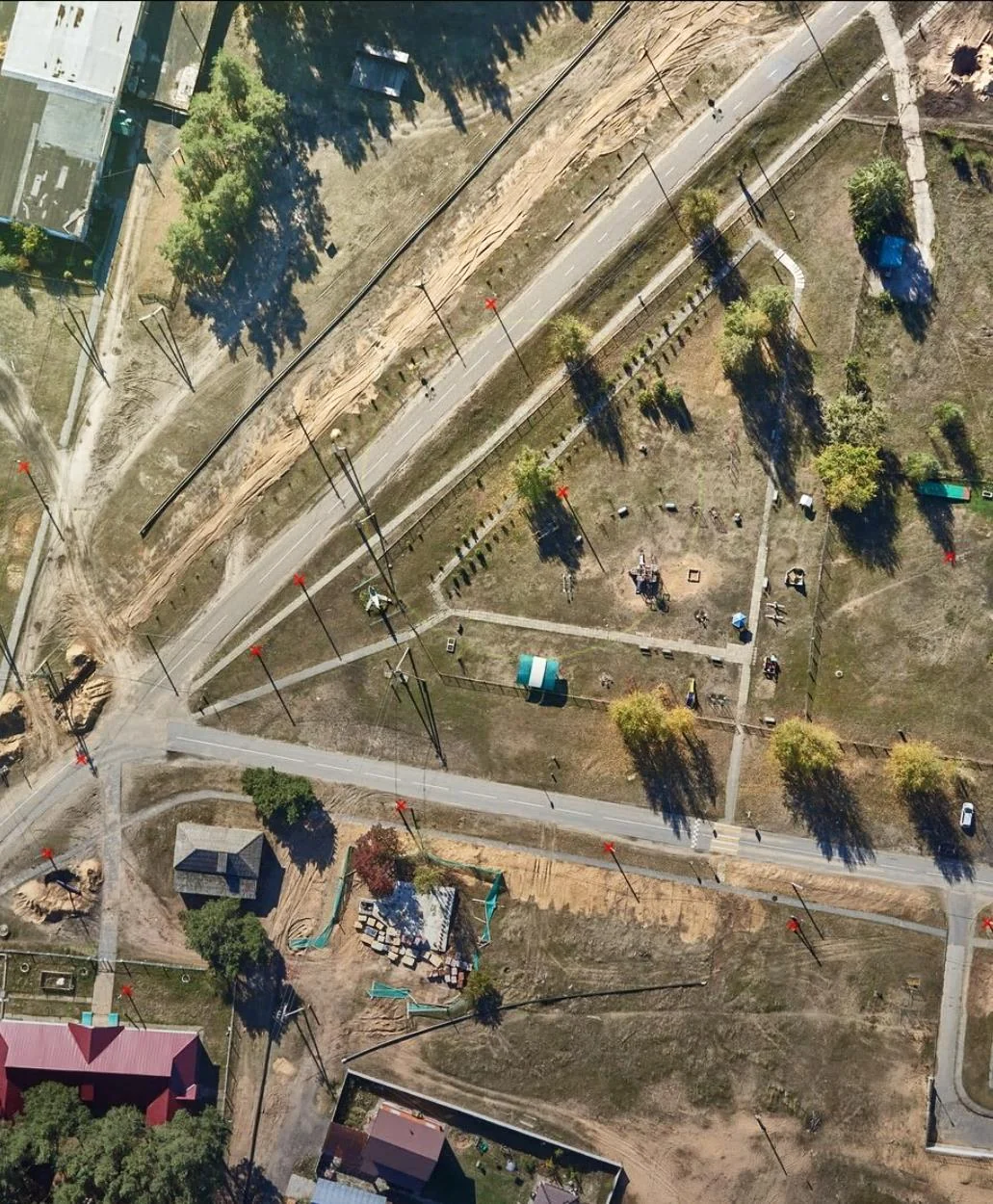
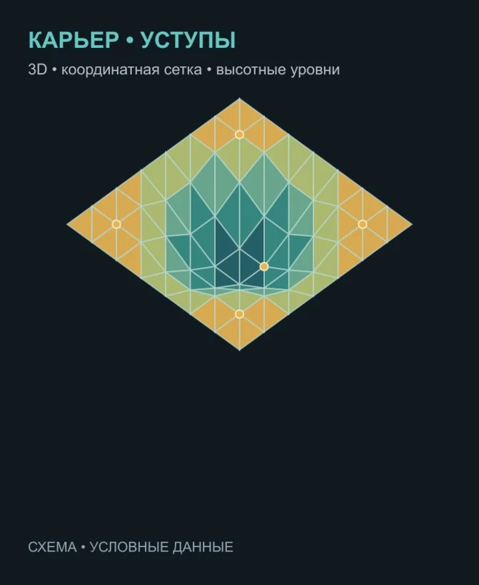
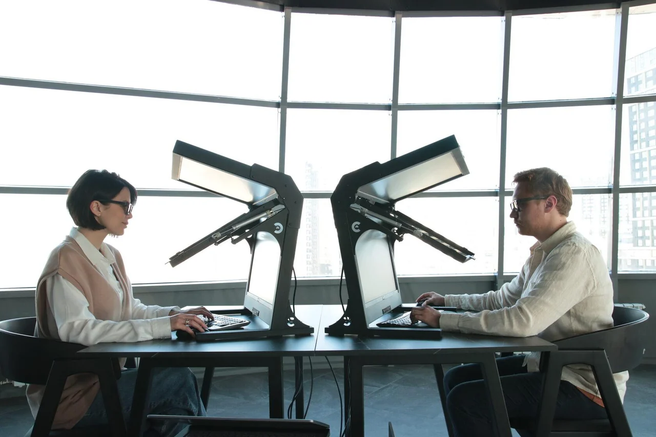
Images from the TOP GeoMineGroup presentation illustrate the technology and workstation; they do not depict a completed TOP GEO project
TOP GeoMineGroup supplied the city and mining digital-twin presentations and the Aymak 3D task list. Models in these materials demonstrate the technology. A model of the visible surface complements engineering and mine-survey data; accuracy and methodology are checked for the specific site.
The scope, accuracy, deliverable formats and schedule are agreed in the technical brief. Pricing depends on the area, workload and site access.
Request a project quotationPDF · RU · 16 pages · 1.82 MB
Download presentationPDF · RU · 19 pages · 9.95 MB
Download presentationPDF · RU · 3 pages · 0.05 MB
Download presentationService materials: technologies, equipment and examples of spatial-data processing
View details