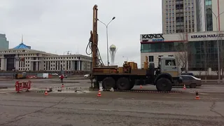
Engineering surveys
Site data for building, road and utility design.
Integrated solutions for subsoil development, construction and industry. We work throughout Kazakhstan.

Site data for building, road and utility design.
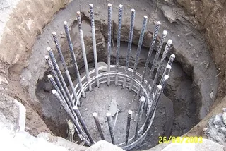
Site work from foundation preparation to construction oversight.
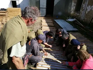
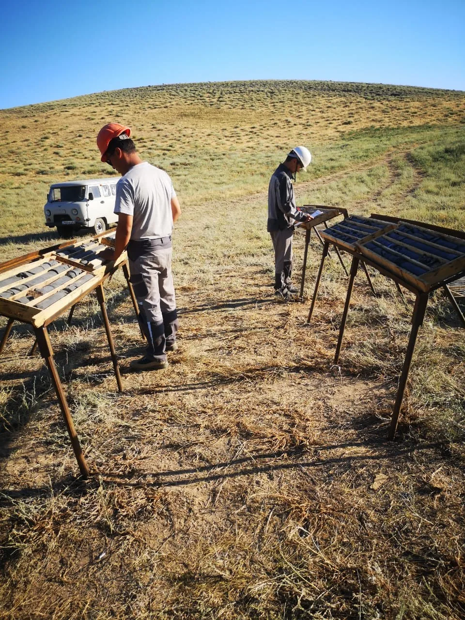
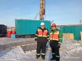
Field exploration, sampling and core logging.
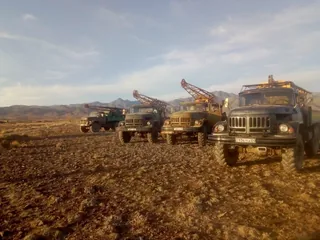
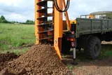
Boreholes for site investigations, exploration and water supply.
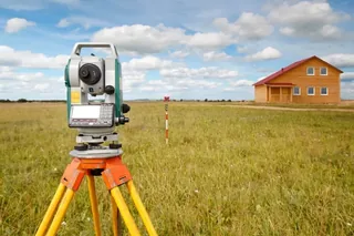
Engineering design and project documentation for buildings, structures and utilities.
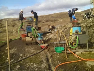
Impact assessment, environmental documentation, monitoring and land restoration materials.
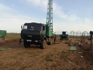
Groundwater studies, hydrogeological wells and water supply data.
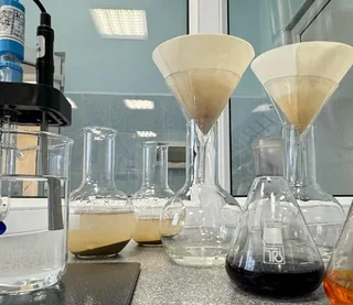
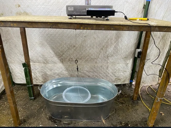
Soil testing and water sample analysis for engineering projects.
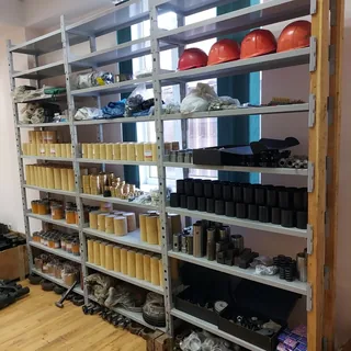
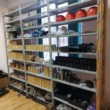
Selection and supply of drilling rigs, tools and consumables.
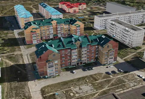
TOP GeoMineGroup materials on spatial models for cities and mining sites.
Choose a project need and explore the relevant scope, technical capabilities and company materials.
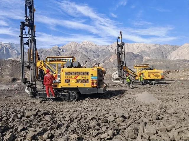
From site assessment and fieldwork to geological data and resource estimation. The investigation programme follows the project stage.
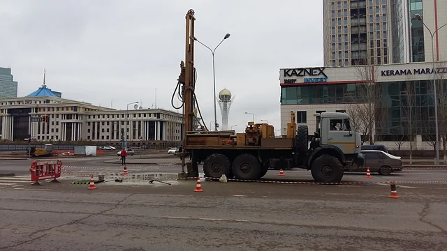
Design input data, ground investigations for foundations and construction control for buildings and industrial facilities.
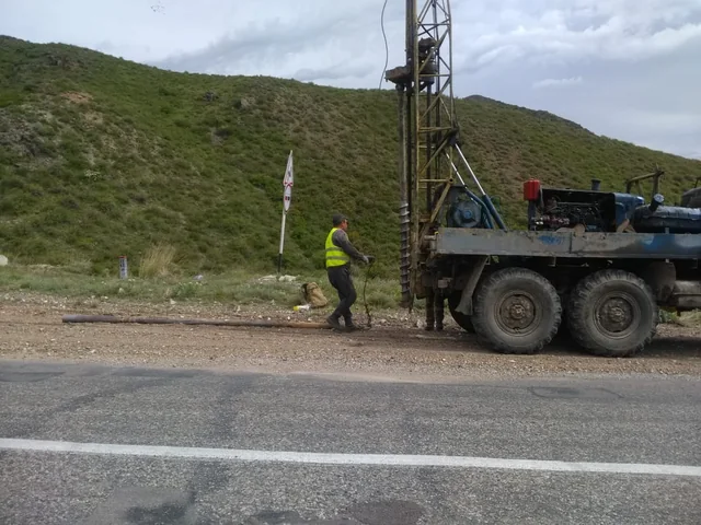
Topographic data, project documentation, surveying and engineering support for construction and reconstruction.
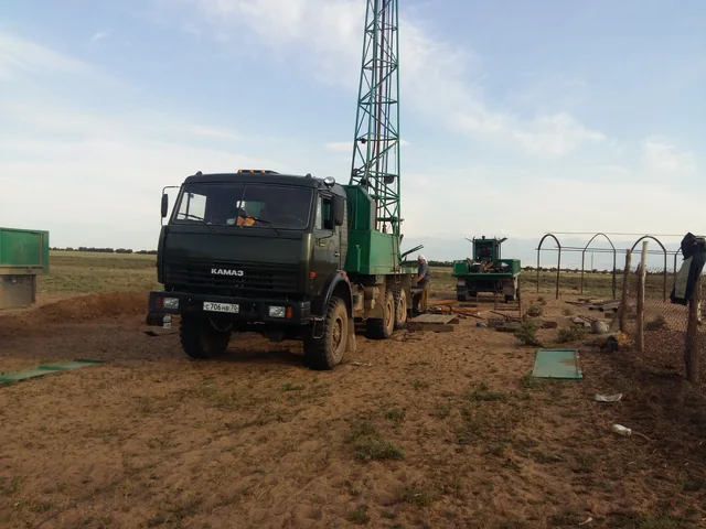
Groundwater prospecting, water wells, construction dewatering and sample studies to support engineering decisions.
Experience, technology and a team to meet your needs
From licensing and field work to resource and reserve estimation under KazRC
Groundwater exploration, water-supply wells, dewatering and monitoring
Design for subsoil development, industry, roads and civil construction
Construction quality control, design compliance and acceptance of completed works
Supervision of design implementation, advice and construction support
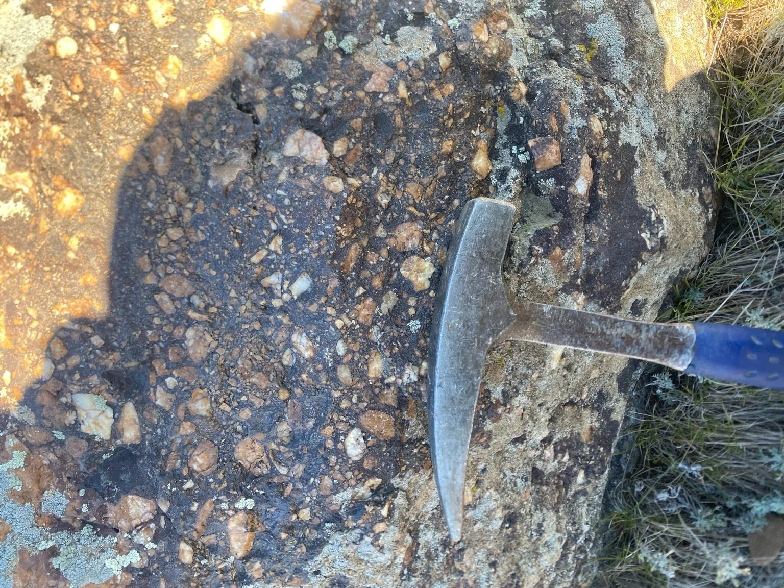
RDB Minerals adds field exploration capabilities to the group: excavation and logging, sampling and preparation of geological records.
Traverse observations and mapping at scales of 1:5,000 and 1:10,000. Lithology, contacts, alteration and mineralisation descriptions, structural measurements, GPS/GNSS positioning and digital field records.
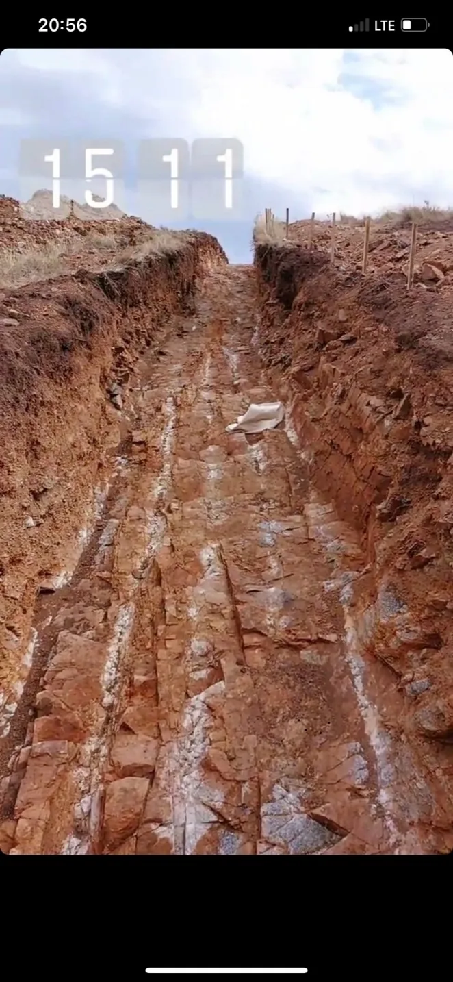
Organising exploration excavations to the technical brief and site conditions. Layer-by-layer wall logging, interval referencing, structural observations and photographic records.

Channel and geochemical sampling, sample preparation and collection. Recording sample locations and preparing sample registers for subsequent processing.
A clear process at every stage
We review the initial data and technical specification.
We agree on the scope of work, timeframe and cost.
We perform studies and engineering works.
We provide reports and documentation.
Tell us about the site and expected scope. We will clarify the initial data, prepare an estimate and agree on the documents required for the next steps.
We will recommend a solution and prepare a proposal for your project
Tell us why you are contacting us, your contact details, the site and the scope of work. We will clarify your needs and prepare a proposal.
The completed form fields will be added to a prepared message. Choose a number and send it via WhatsApp.